Here are some photos we took from the trip. Below each photo is a description. Enjoy.
Antietam:
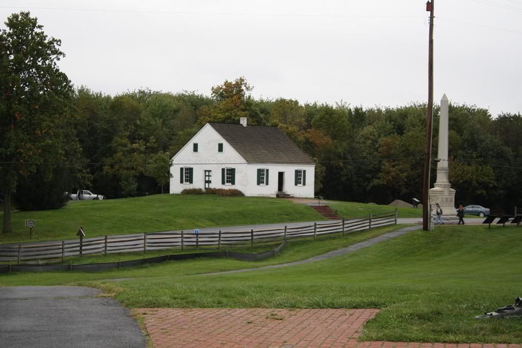
The Dunker Church.
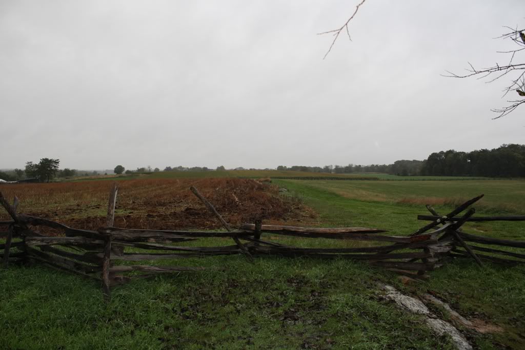
This photo was taken from the New York state monument looking North. The Dunker Church would be out of view to the left. You can see The Cornfield off in the distance. The left flank of Steven Lee's batteries would have been positioned on the hill to the right of the view.
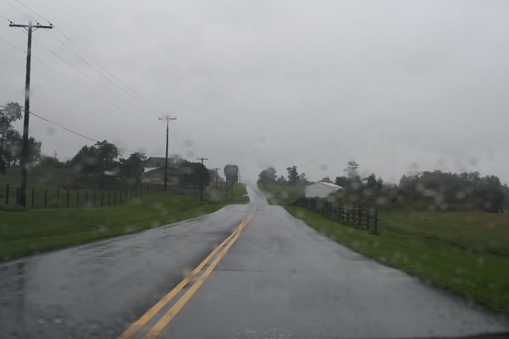
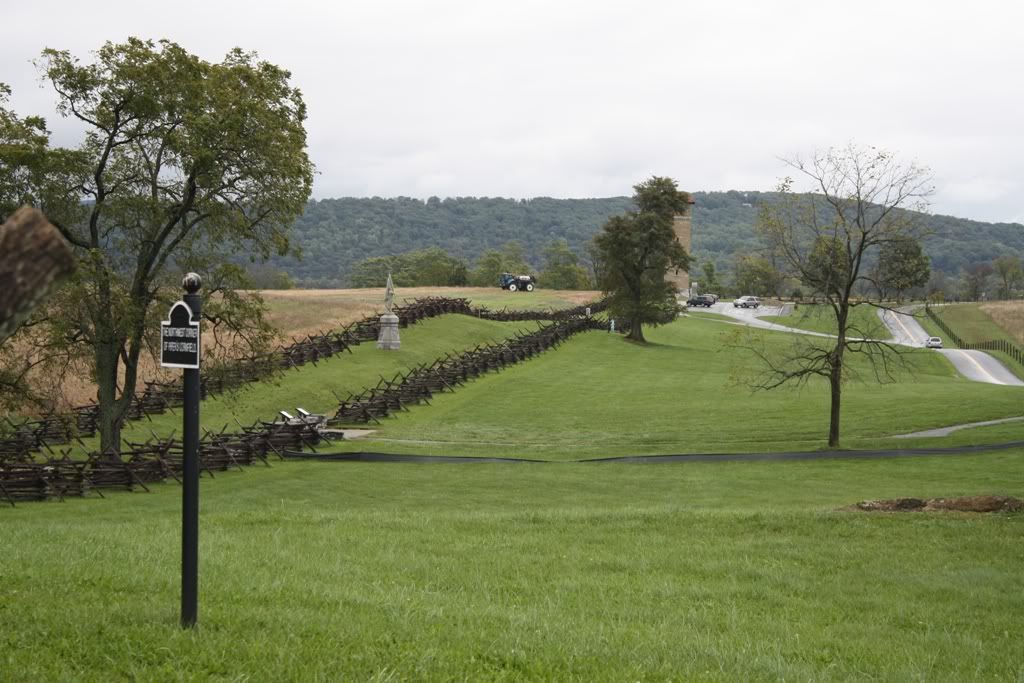
Sorry for the rainy view, but this was taken driving north on the Hagerstown Pike. The Dunker church would be to the rear of the view. Gibbon's Iron Brigade moved South towards the camera on the right of the Pike on the morning of Sept, 17th, Patrick's brigade moved on the left of the Pike.
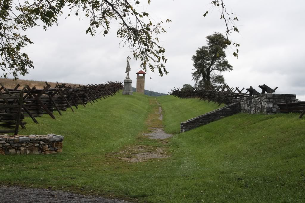
This was taken at the center of the southern fence that boarders the cornfield. This would have been the center of Col. Douglass' confederate brigade when they lined up against the fence to deliver that deadly volley at the approaching Federals, the morning of Sept 17th.
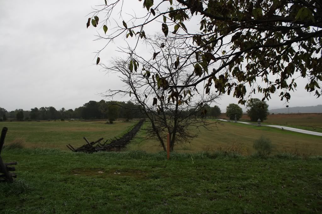
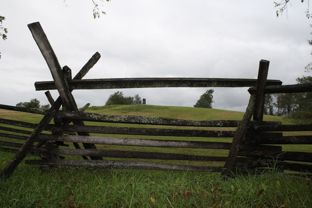
Looking East towards the East woods at the same spot.
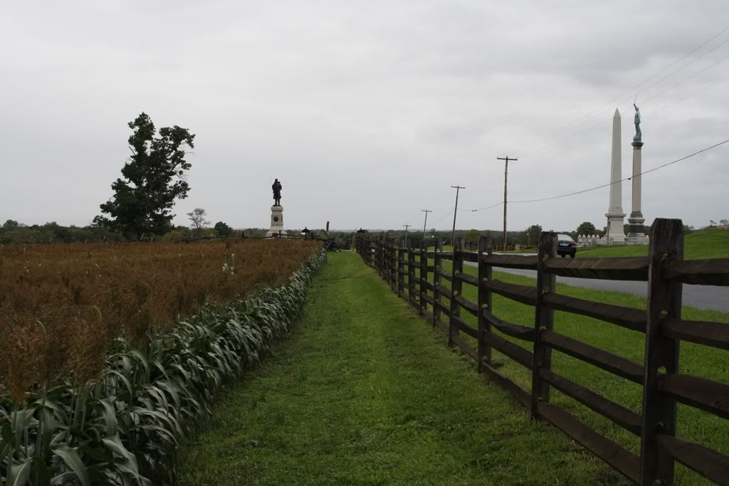
This is the fence boarding the Hagerstown Pike where the famous photo of Confederate dead was taken.
Switching over to the center part of the battlefield, this is from the western portion of the Bloody Lane looking East.
Another shot from inside the lane.
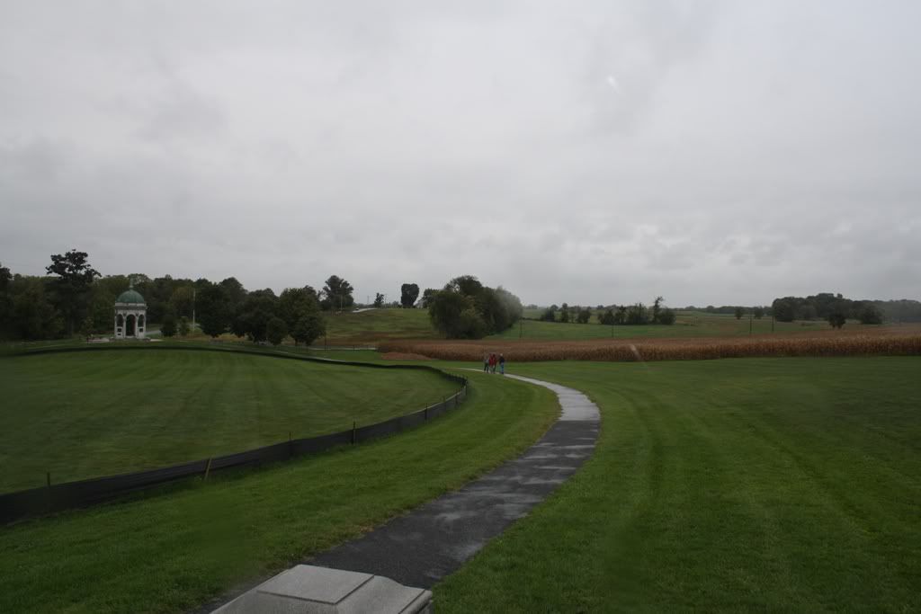
This is a knoll on the West end of the Bloody Lane that was in front of Rodes’ Confederate Brigade. It was said that the Union solders advancing towards Rodes’ position could not be seen until they were less than 300 feet from the Confederates. The 5th Maryland took severe losses as they moved up the slope of the knoll to find the Confederates waiting at such close range. This knoll is depicted on the Antietam maps in the game.
This view was taken from the knoll looking at the Confederate position.
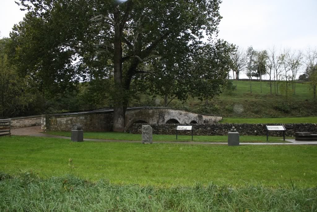
Burnside's Bridge
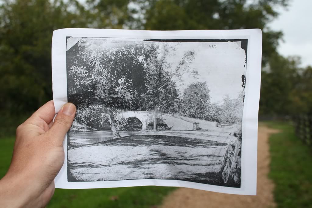
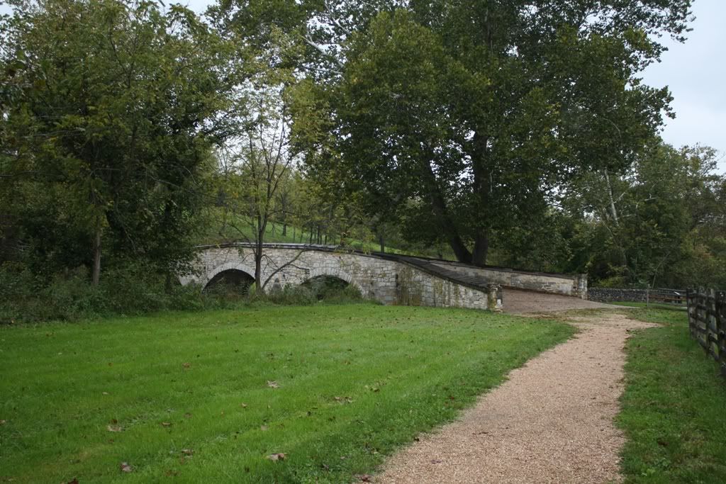
A "Then & Now" shot I did of the bridge.
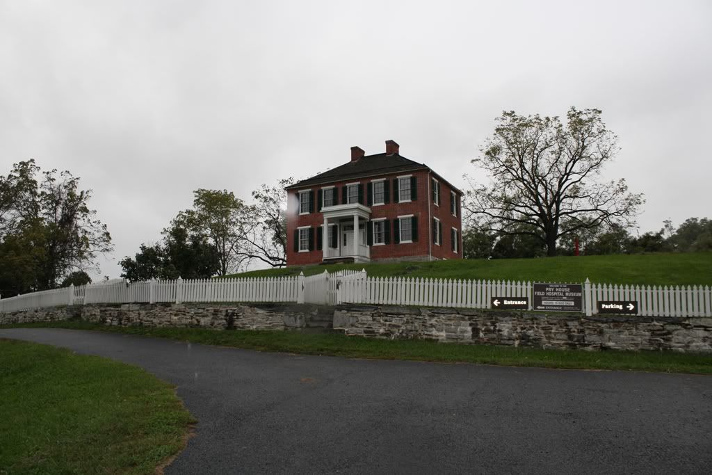
McClellan's Headquarters at The Pry House.
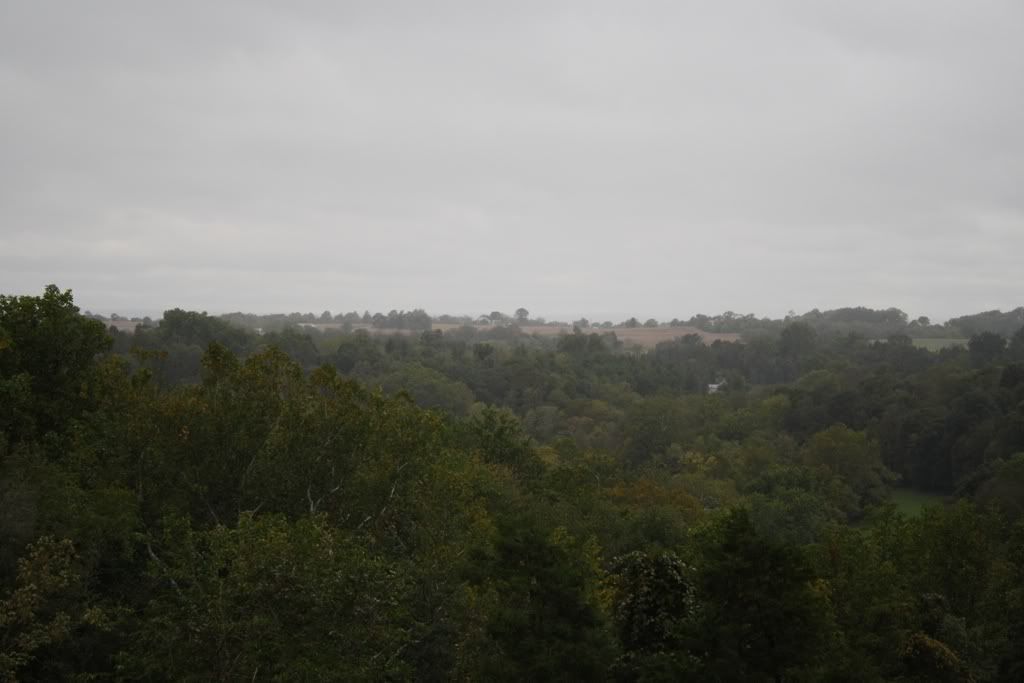
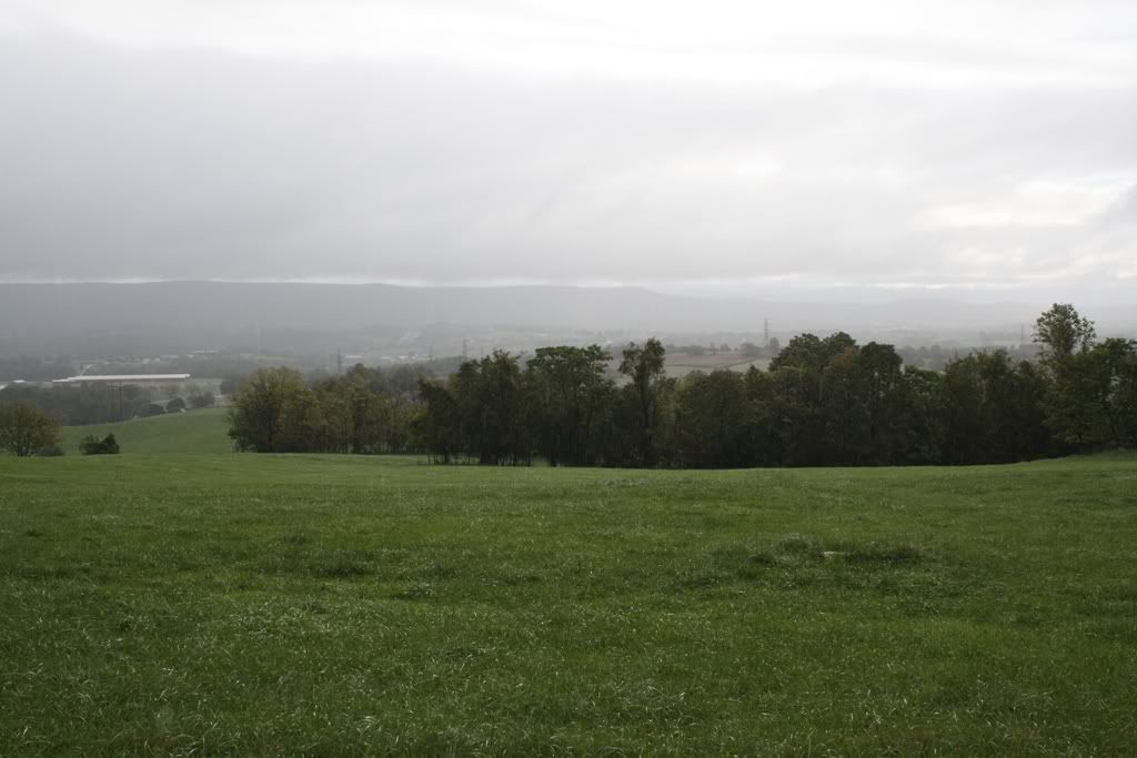
This is the view McClellan would have had of the battlefield. The battlefield is the open area in the background. Can't see much can you?
South Mountain:
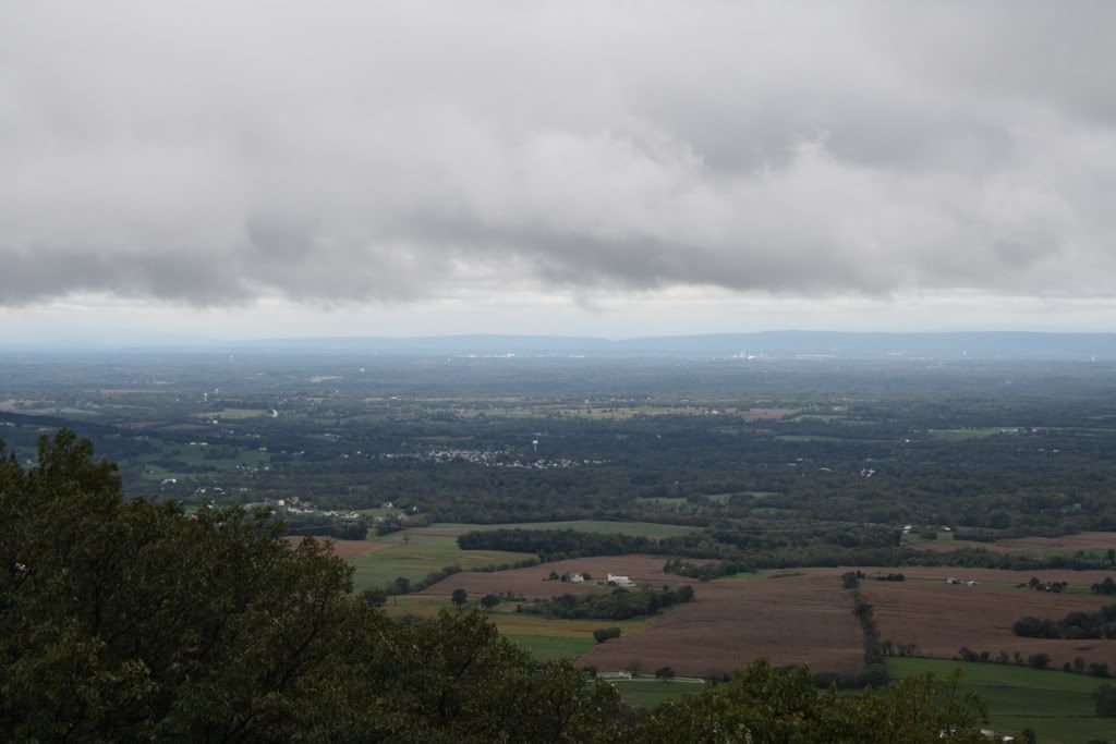
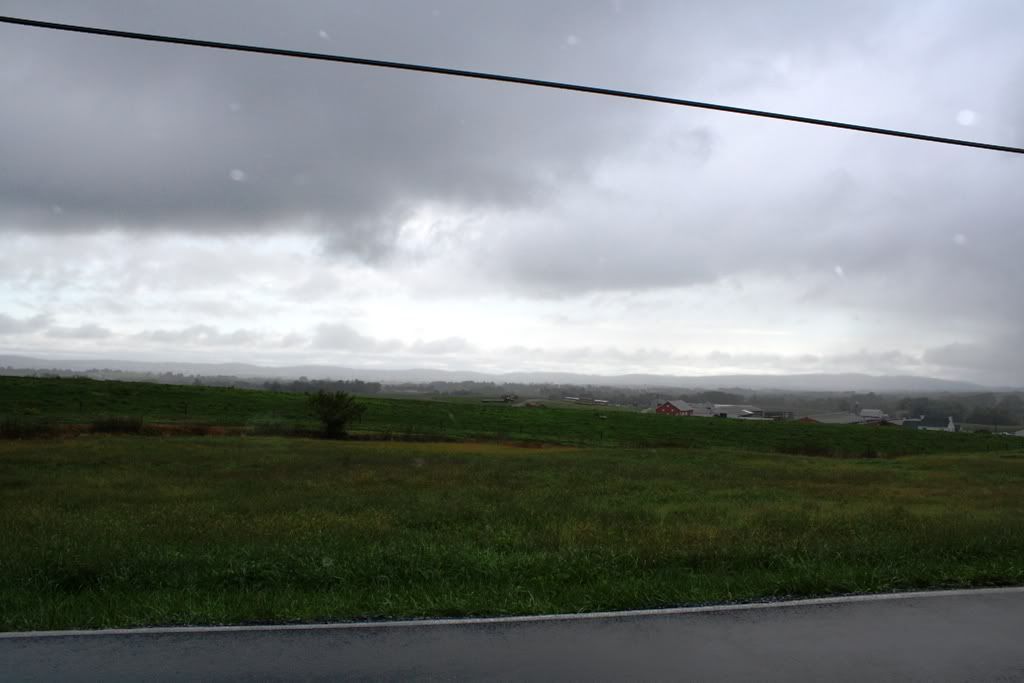
This was taken from the Washington Monument near Turners Gap looking West. The Antietam Battlefield is far in the distance to the left of the photo.
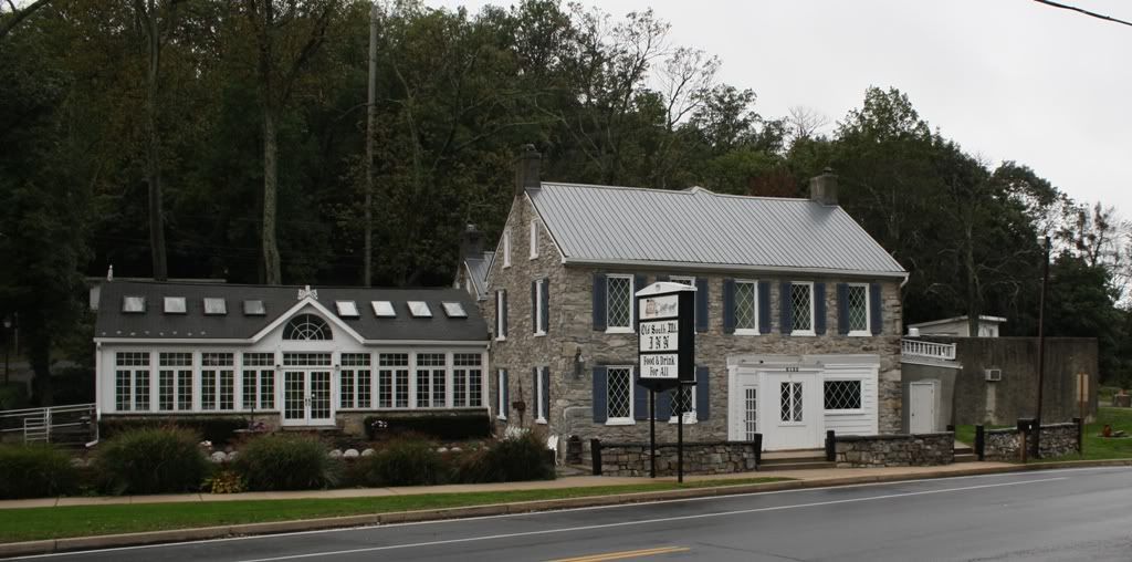
This is the Mountain House near Turners Gap. Maj Gen DH Hill used it as his headquarters for the battle.
Confederate position near Turners Gap looking towards the advancing federals.
The federal point of view looking up towards the Confederate lines.
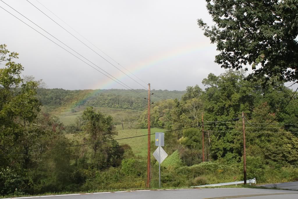
This is also near Turners Gap, check out the rainbow.
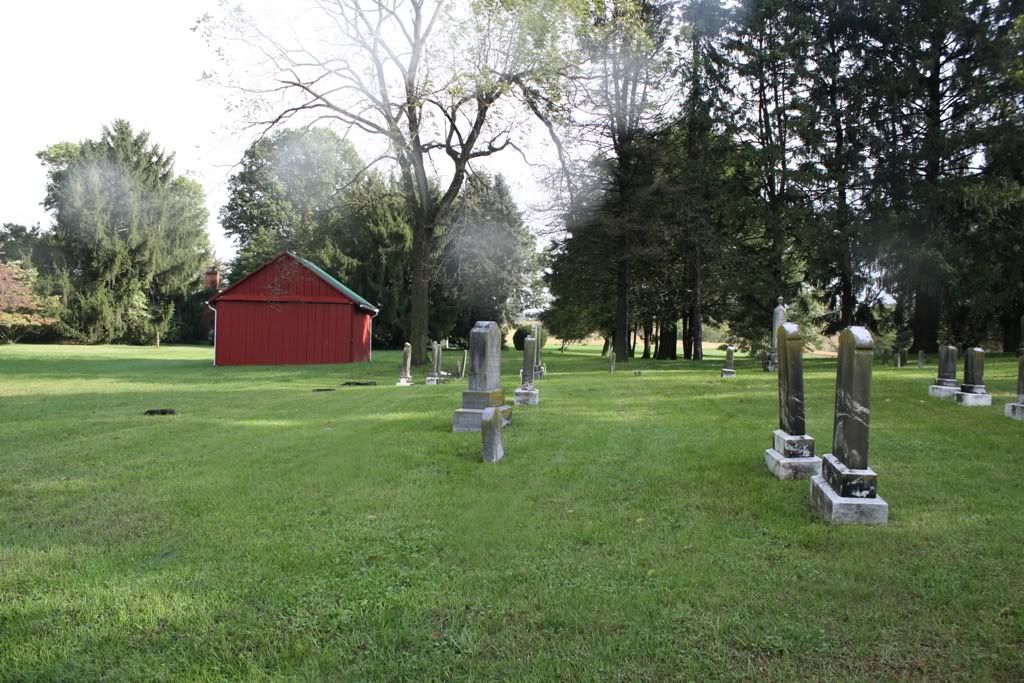
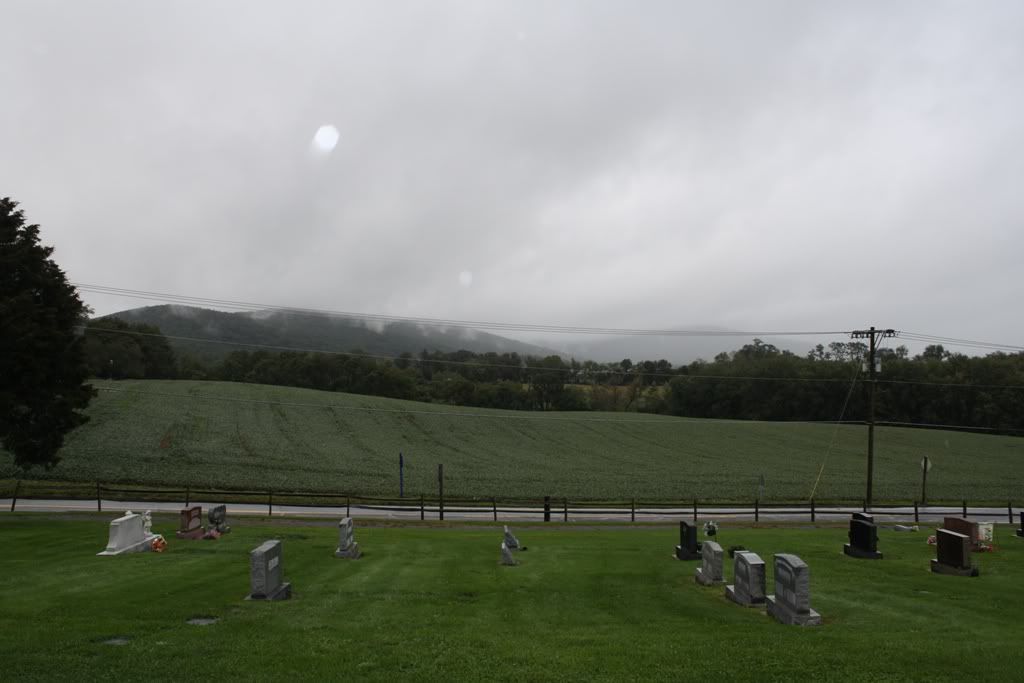
Maj Gen Hooker's Headquarters was setup in this Cemetery.
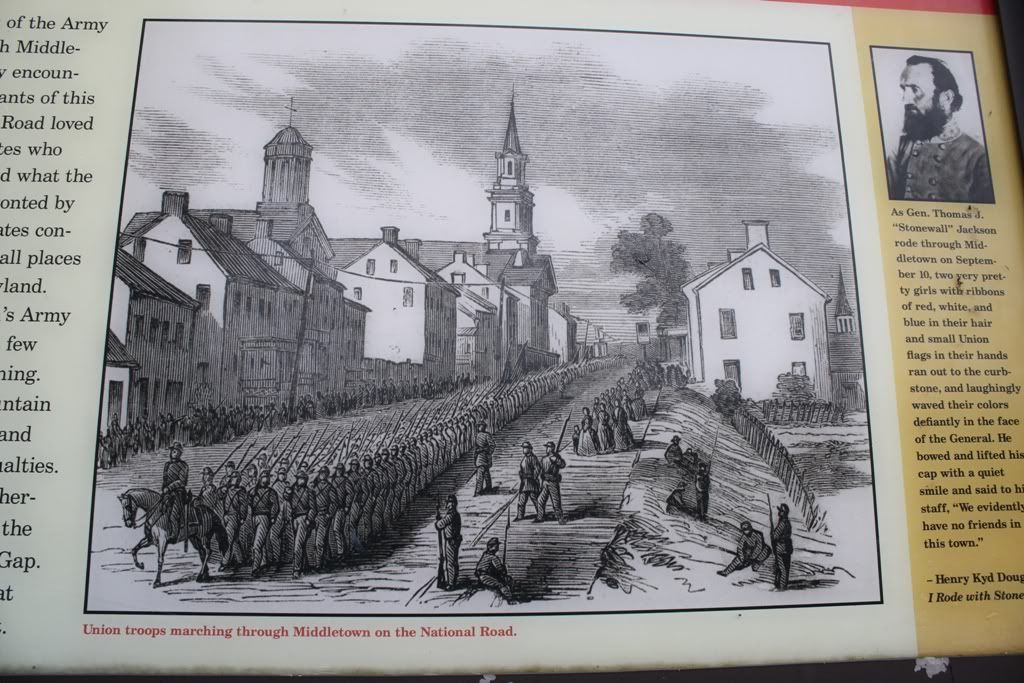
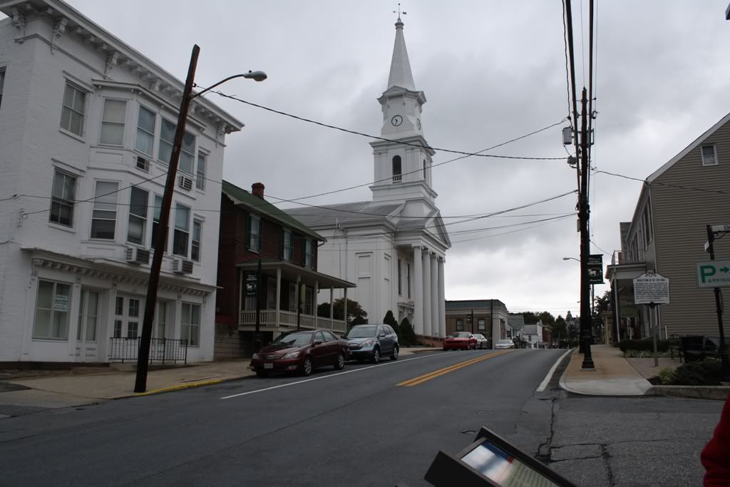
Here's a neat little "then & now" that one can view when they visit Middletown. The town was used by both armies to march to South Mountain.
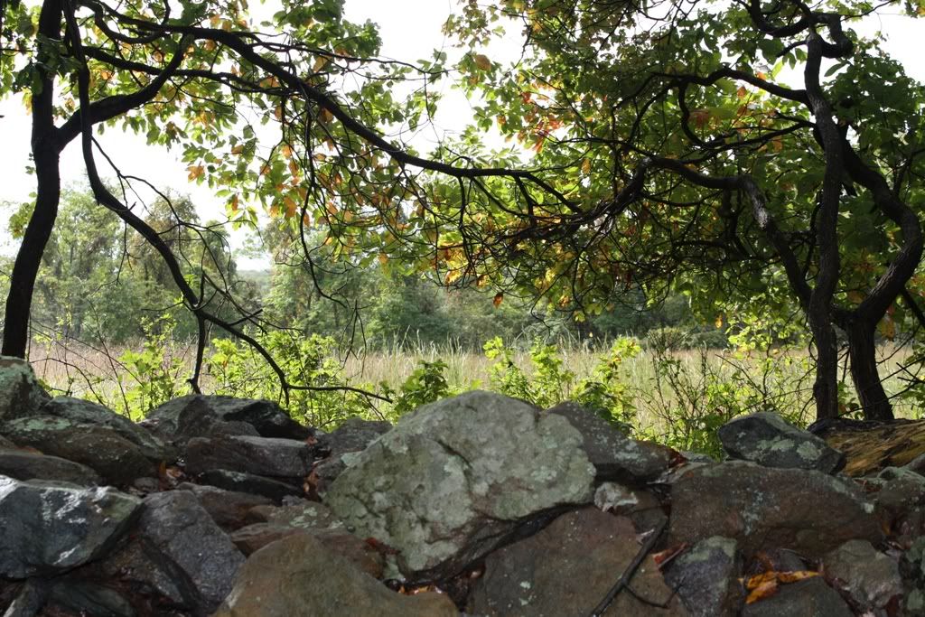
Switching to the Fox's Gap area, this is the stone wall that Garland's brigade defended during the opening federal attack. If you have played SM01, you should be very familiar with this wall.
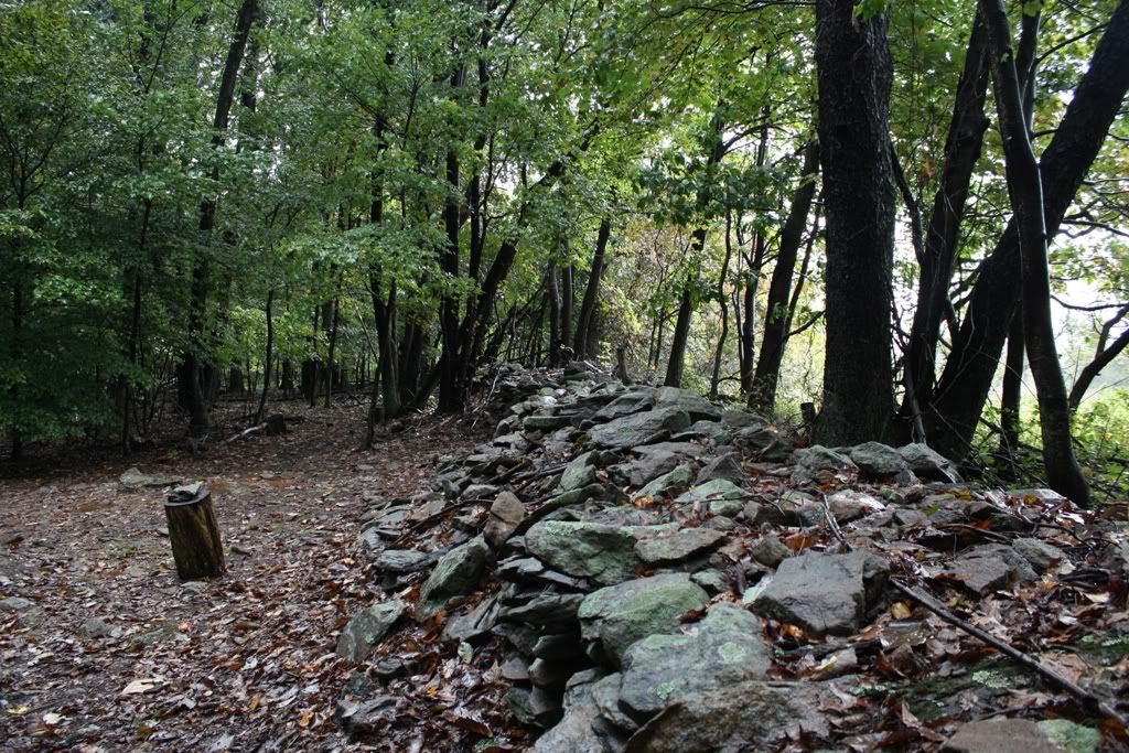
Another shot of the wall.
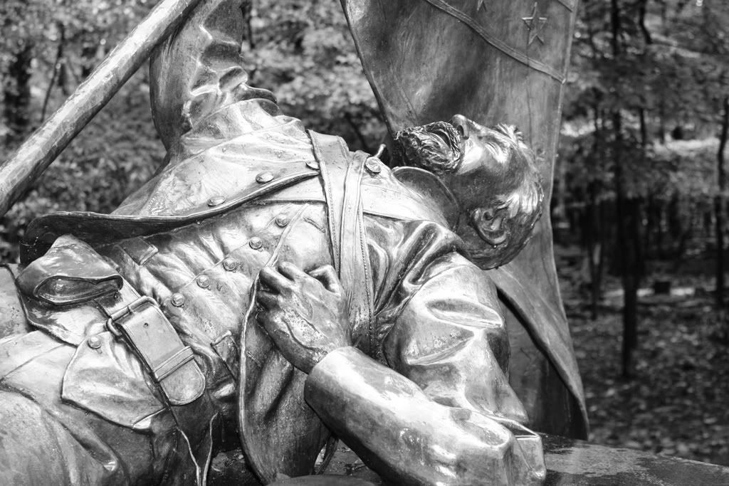
This is one of my favorite civil war monuments, the North Carolina monument. It is located near the stone wall in the above pictures at Fox's Gap. There is a short hike to reach the monument. It is not far from the Garland monument, marking the spot where Confederate Gen Garland was killed. Also, the Reno monument, marking the spot where Reno was killed is just a few feet away.
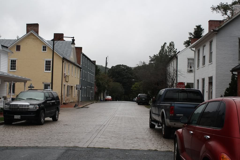
Moving on to Crampton's Gap, this is a neat little town at the foot of South Mountain, Burkittsville, MD. Yes, that Burkittsville from the movie "The Blair Witch Project".
This is a cemetery in Burkittsville, looking West towards the Confederate positions near Crampton's Gap.
This is looking East towards the advancing federals at Mountain Church Road. If you have played SM07 and SM08, you should be familiar with Mt. Church road, the location of the Stone wall defended by elements of McClaws division (Semmes).
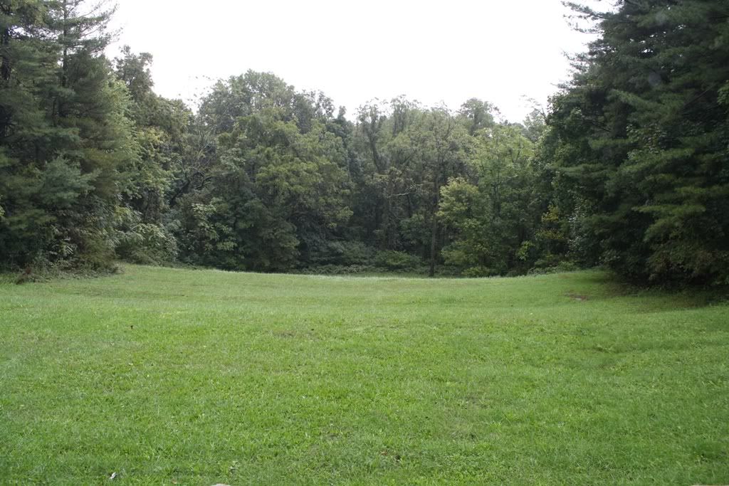
This is the center of Crampton's Gap. This area would have been more clear of trees at the time of the battle, and one could have seen the advancing federals moving up the mountain.
